Mapping
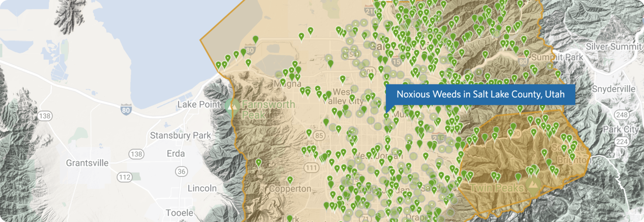
The objective of weed surveying and mapping is to document the presence or absence of noxious weed populations and provide a baseline survey of current conditions. Site-specific data is collected that will be used to direct weed management priorities, identify high-priority weed species and areas for treatment, and evaluate weed control efforts. Salt Lake County works with local partners to standardize data collection and to share information amongst partners.
To assist with the task of surveying, mapping, and monitoring, the weed program uses a tool called Early Detection and Distribution Mapping Systems, or EDDMaps. EDDMaps is a web-based mapping system for documenting invasive species distribution. EDDMaps combines data from databases, organizations, and volunteer observations, to create a national network of invasive species distribution data that is shared with educators, land managers, conservation biologists, and beyond. This data will lend itself to a better understanding of invasive species distribution around the world.
