Data

Reliable, high quality stream data is critical to understanding the overall health of a watershed. In particular, how development and other landscape-altering activities can impact stream health and natural stream functions.

Routine monitoring of Salt Lake County streams allows the Watershed Program to assess where watershed conditions appear to be changing, identify areas of concern, and guide stream restoration efforts.
Streamflow & Precipitation Gauges

The Watershed Program maintains a network of streamflow and precipitation gauges located throughout county. Daily flow data collected from many stream sites is needed to forecast floods, manage water quality, and assess water availability. In addition, stream gauge data is key to understanding the relationship between precipitation and how quickly streamflows peak.

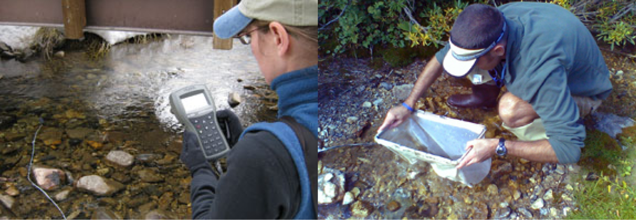
Stream Water Quality Monitoring

Men looking at a tablet.

An expanded water quality data collection program was undertaken in 2009, and has been refined over time to reflect specific interests in the watershed. Our data is shared with regulatory agencies at the federal, state, and local levels.

Data collected include:

  • Field Parameters (pH, temperature, dissolved oxygen, etc.).
  • Bacteria (E.coli, total coliform).
  • Aquatic macroinvertebrates (a.k.a. macros or bugs) to help identify long term water quality trends.
  • Stream channel stability.

The following are available to download from Salt Lake County's Open Data GIS Portal:

  • Water Quality Sample Sites (point data)
  • Field Parameters (table)
  • Bacteria Samples (table)
  • Bacteria Batch (table)
  • Macros Samples (table)

The Sample Sites point data is available in three formats: shapefile, kml, or csv. Tables are available as csv. Use the common field SITEID to relate the sites to the sample data in the tables. Metadata is available separately.

The water quality data items listed above can be provided in a file geodatabase, including all relationship classes and metadata. Stream channel stability data is also available by request.

Salt Lake County Watershed Program's annual stream water quality report provides a fine scale analysis of the health of County waterways. Site-specific data tracks the functionality of sub-basins and, over time, track how these ecosystems respond to management practices and restoration efforts.

Monitoring Snowpack

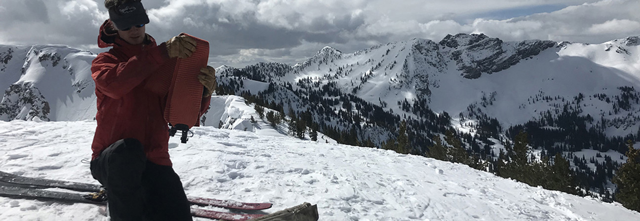
A man testing snow on a mountain.

Monitoring snowpack depth and density at various elevations and aspects in Big and Little Cottonwood Canyons provides important information for streamflow forecasting. This helps Salt Lake County prepare for spring runoff and any flooding that may occur.

Snow core samples are collected in order to calculate the snow water equivalent (SWE) which is the amount of liquid water (in inches) contained within the snowpack. Up to four core samples are collected per site per visit, at each of Salt Lake County's six snowpack sampling locations. Three in Big Cottonwood Canyon and three in Little. Watershed Program staff will visit each location multiple times throughout the season, typically February through May.

Our Snowpack Monitoring Dashboard provides real time updates of the SWE calculated for each core sample.